How does LiDAR work?
LiDAR measures distances using light. Combining many measurements with positional information can form a point cloud used to represent surfaces in three dimensions. NOAA explains the underlying principle through light pulses and range measurement. Producing ranges is only one part of a measurement workflow, however. A sensor output does not by itself constitute a complete, verified survey or inspection report.
In an actual system, mounting, time alignment, motion information and processing need to work together. Measuring a passage cross-section, inspecting a visible surface stain and comparing two visits are different objectives. Start by identifying the geometric or visual question. That makes it possible to select sensors and plan verification around a concrete deliverable rather than around a general desire to collect three-dimensional data.
Can LiDAR and cameras replace one another?
A camera records visual appearance, while LiDAR supports range and geometry measurement. Documenting a visible label or surface defect and measuring a passage clearance are different requirements. Some jobs benefit from both. In that case, relate images and measurements to the same place and time. Attaching two sensors to one platform does not automatically align their data or establish the accuracy of a combined result.
A maintenance reviewer may need an image, while an engineering reviewer needs a section through the recorded geometry. Define deliverables for each user: the original image, relevant point-cloud region, review note and measurement limitations might belong together. Assign responsibility for both visual review and geometric assessment so a combined file package does not leave the actual acceptance decision ambiguous.
How should a confined-space measurement be planned?
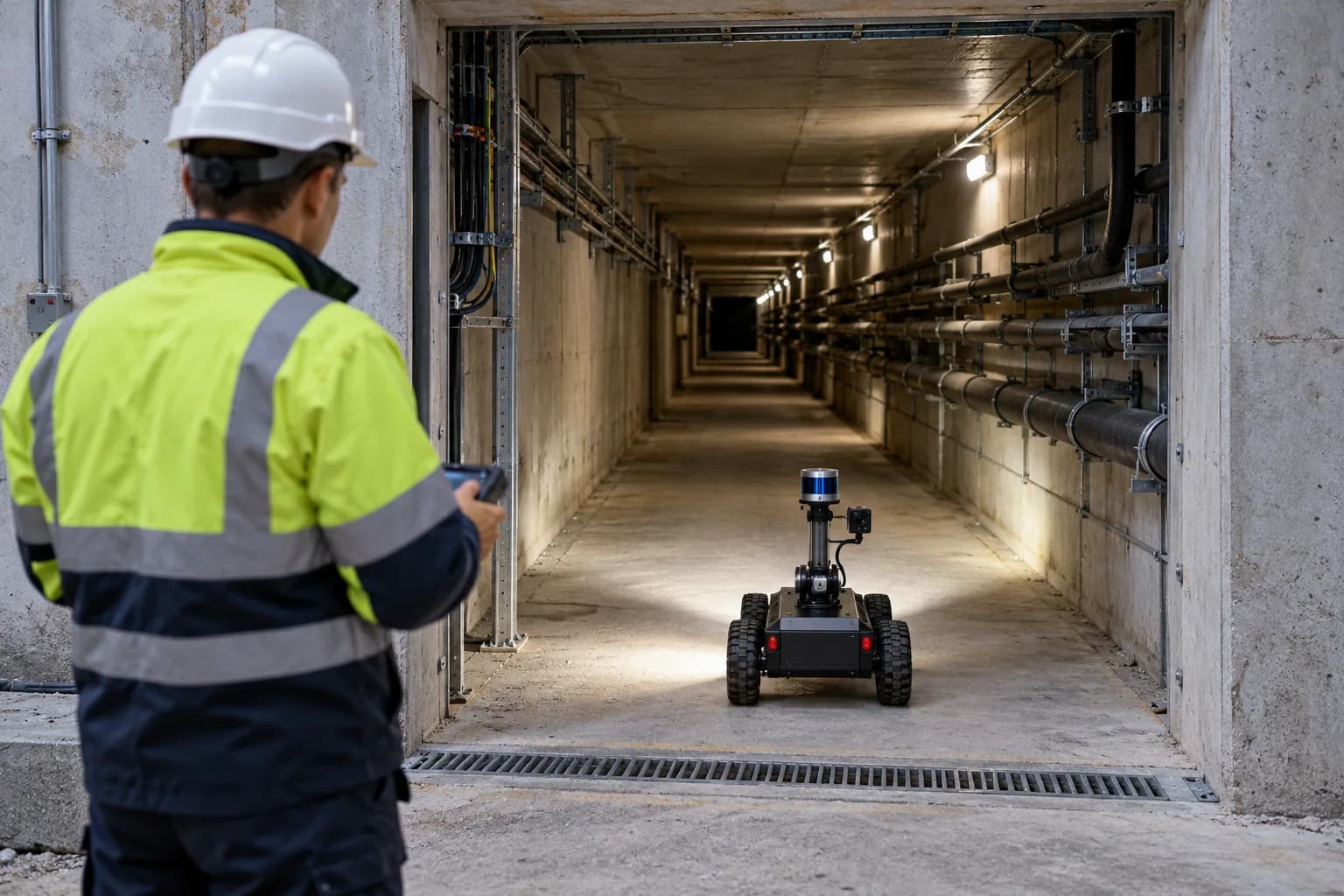
Consider the entrance, access route, occlusions, lighting, communications and recovery of the platform together. Compare the required coverage with what can physically be reached and observed. Do not present an unobserved region as a completed measurement. Plan checks using repeat passes and known references where appropriate. Acceptance tolerances need to be defined for the actual equipment and site trial rather than borrowed from an unrelated demonstration.
What does a drone or remotely operated platform contribute?
The platform carries sensing and recording equipment into the task area. Depending on the job, a wheeled carrier, fixed arrangement or drone may be considered; not every confined space is suitable for flight. Integration of existing components, mission software, recording, communications and operator control are parts of the system scope. Remote collection does not establish delivered autonomous navigation or remove every need for physical site access.
How should point clouds and inspection evidence be delivered?
Associate each dataset with a mission identifier, time interval, sensor arrangement and processing version. Distinguish originals, processed outputs and reviewer interpretations while preserving their relationships. Central review should expose missing coverage, interrupted collection and repeated measurements. If a later visit will be compared, define references and alignment in advance. A visually impressive three-dimensional view is not, on its own, an acceptance criterion for the intended inspection.
What engineering contribution does Gokbilge Tech address?
LiDAR inspection platforms and remotely operated systems are explored through component integration, mission software and field data workflows. Atlas is relevant to organizing jobs and evidence. These areas do not imply that every drone component is locally manufactured or that identical measurement performance has been demonstrated in every environment. Start a scope discussion with site photographs, access limits and the specific measurement questions to answer.
Technical references
Want to apply this approach to your system?
Discuss your technical requirements →