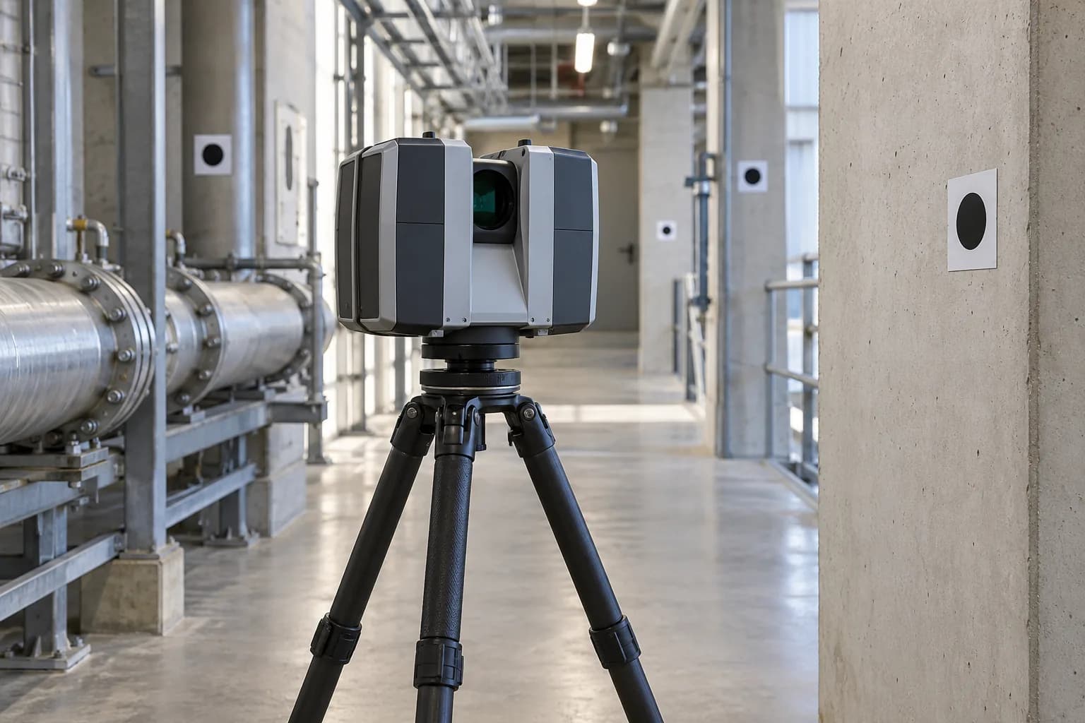
Two LiDAR scans differ: did the structure move or the survey drift?
Coordinates, registration, coverage and measurement uncertainty in LiDAR change detection: a technical guide from point-cloud differences to reviewable evidence.
Read articleHardware & system capabilities
We integrate sourced flight, sensing and communication components into mission-oriented drone platforms. Our software pipeline connects remote LiDAR inspection and measurement in confined spaces to central assessment and evidence records.
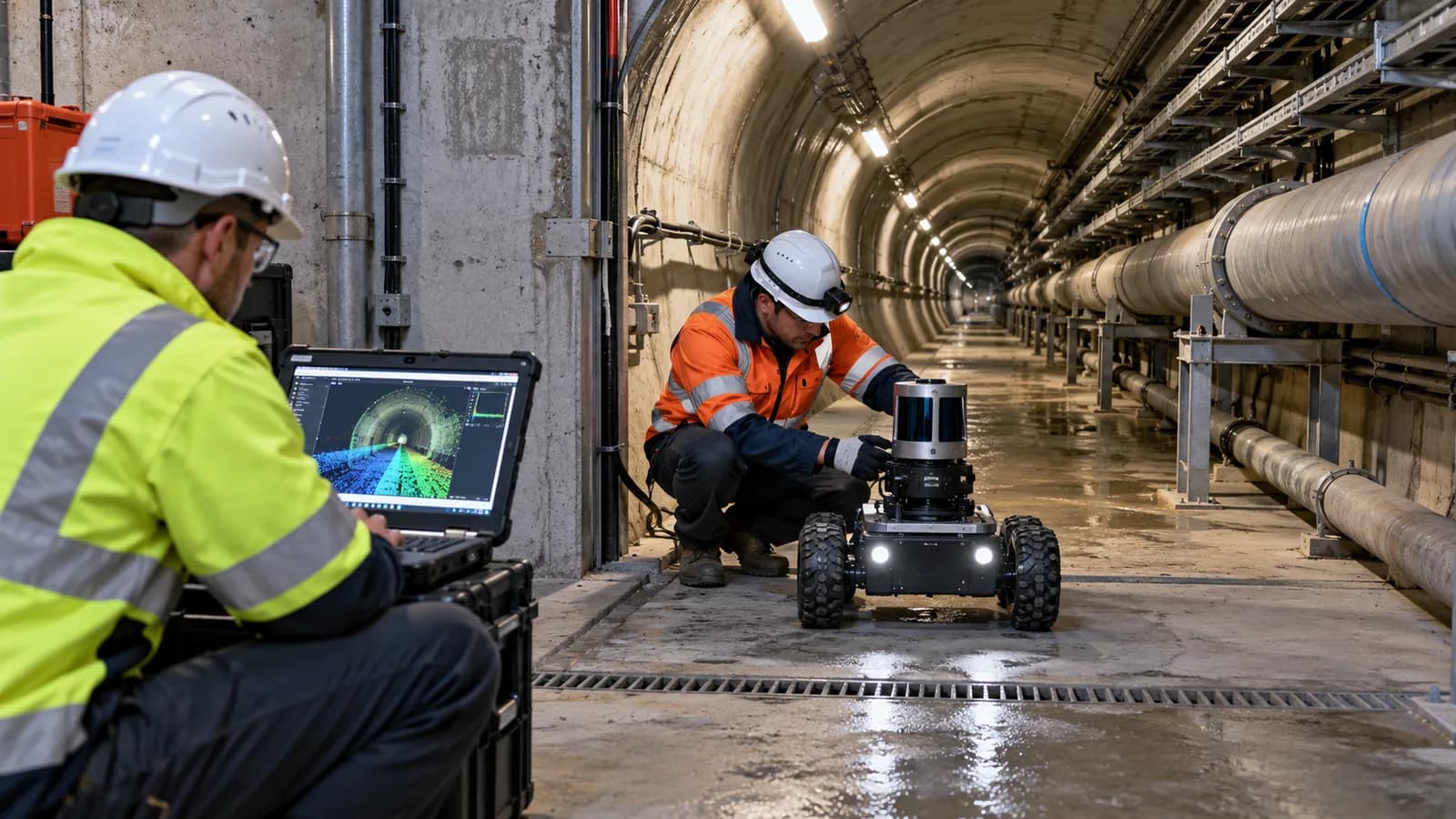
We connect requirements analysis, interface definition, multidisciplinary design, prototype integration and verification planning. Delivery scope, environmental conditions and acceptance criteria are defined for the application.
Service access, energy budgets, configuration control and technical documentation are considered throughout product development.
Our contribution is distinct from that of flight and sensor component manufacturers: platform integration, mission software and the data assessment pipeline.
Area, measurement objective and recording plan
LiDAR, imagery, telemetry and timestamps
Data quality, measurement and expert review
Findings and outputs linked to source records
Coordinates, registration, coverage and measurement uncertainty in LiDAR change detection: a technical guide from point-cloud differences to reviewable evidence.
Read article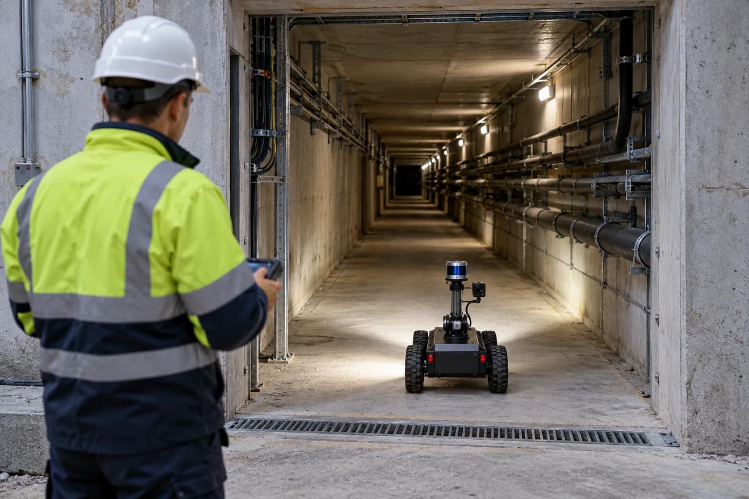
Compare LiDAR and cameras for confined-space inspection, point clouds, sensor integration, remote data collection and reviewable evidence.
Read article